Storm Chase Details
Miles Logged: 427
States Chased: OK, KS
Largest Hail Encountered: 1.15 in.
Spotter Network Reports: 1
Severe Risks: SPC Outlooks
Severe Reports: Storm Reports
Much like yesterday, expectations were in the basement for the 30th. It appeared marginal supercell shear would exist briefly in spots in South Central Kansas along the border with Oklahoma. With it being a Saturday, a trip north seemed warranted. Ashton came along for the ride.
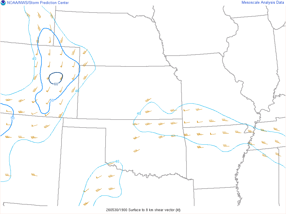
Here’s a look at the 19Z Mesoanalysis for 0-8 shear. As you can see, some marginal shear along the KS/OK border with the other in Southwest Oklahoma. I stuck at home until late in case we needed to head southwest.
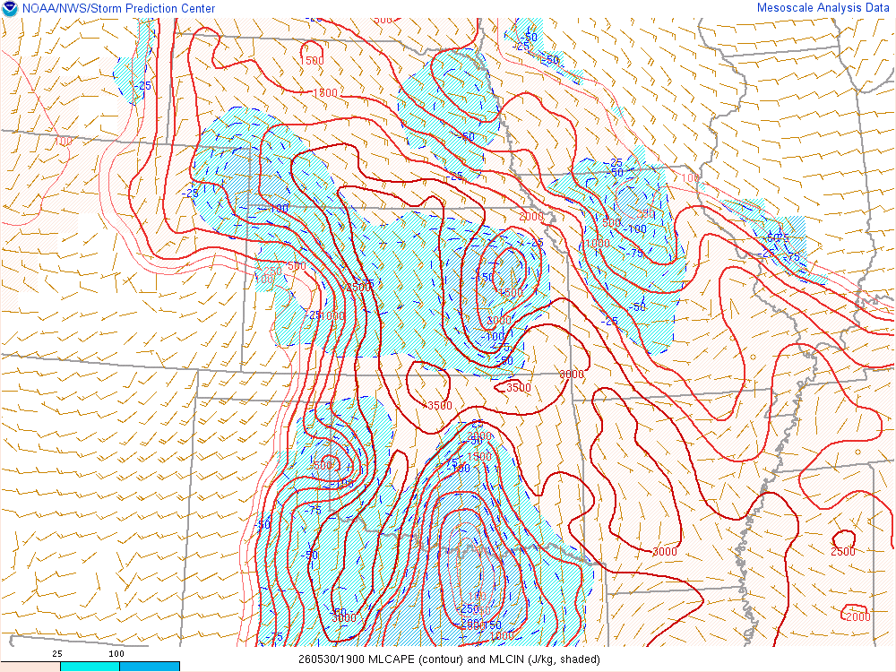
Some impressive CAPE values with shear on the very low end of supercells were along the border.
Departing Norman
After watching a relatively empty southwest Oklahoma, I decided to head north around 1:30.
Sitting in Blackwell
I arrived to Blackwell around 3 and hung around the Casey’s and Braums before continuing north. I took that opportunity to top my tank off and meet up with Chad. Eventually after an hour of waiting, we took off around 4 and proceeded north into Kansas.
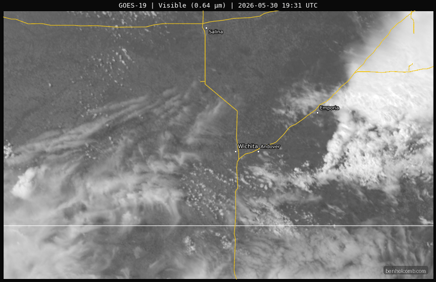
Earlier day storms to the east of Wichita left a residual outflow boundary just south of the Wichita metro. You can see in the animation below and make out that outflow boundary throughout the duration until nearly the end.

Proceeding North towards Wichita
We decided that at worst we could get some Spangles in Wichita and head home. The storm going up to the northwest near Kingman was intensifying. It had a much better radar presentation than visually, though, as we headed up I-35 to 235 and then onto US-400 by the Wichita airport.


