Storm Chase Details
Miles Logged: 1392
States Chased: ND, MN
Tornadoes Witnessed: 1
Milestones: First Minnesota Tornado Farthest North United States Tornado
Spotter Network Reports: 1
Severe Risks: SPC Outlooks
Severe Reports: Storm Reports
After taking it easy on Sunday evening and catching up on this web site as well as sleeping adequate, I woke up early on Monday morning to work my day job. I worked from my hotel room until check out, and then from my vehicle.
Mesoscale Discussion and Tornado Warning in Bismarck
An early day tornado warning was issued out by Bismarck, so I ventured a bit west from Fargo on I-94. Eventually I made it up to Cooperstown, where I grabbed some fuel and started heading back to Fargo. The storms were not very spectacular, and behind the boundary out west by Bismarck.

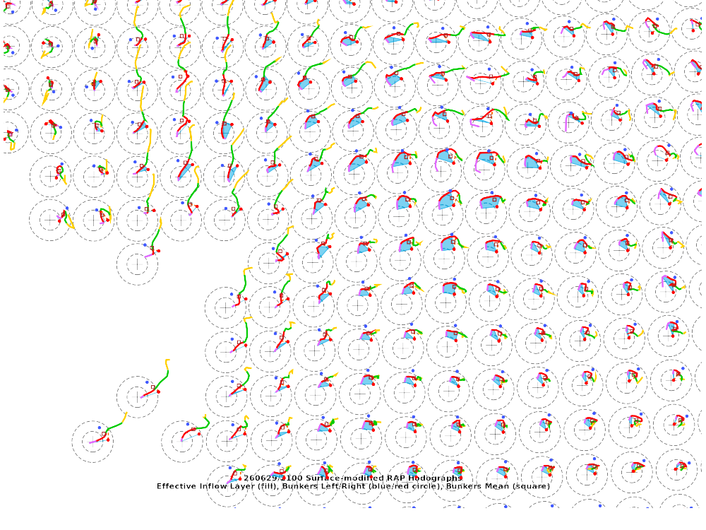
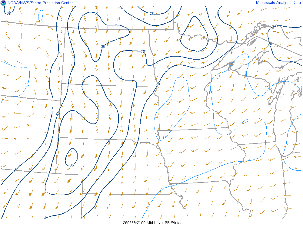
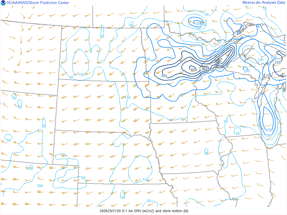
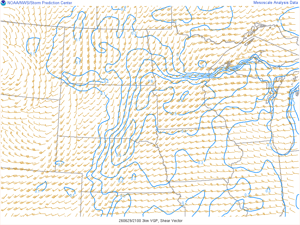
The VAD was also not very impressive, with a mostly straight-line hodograph.
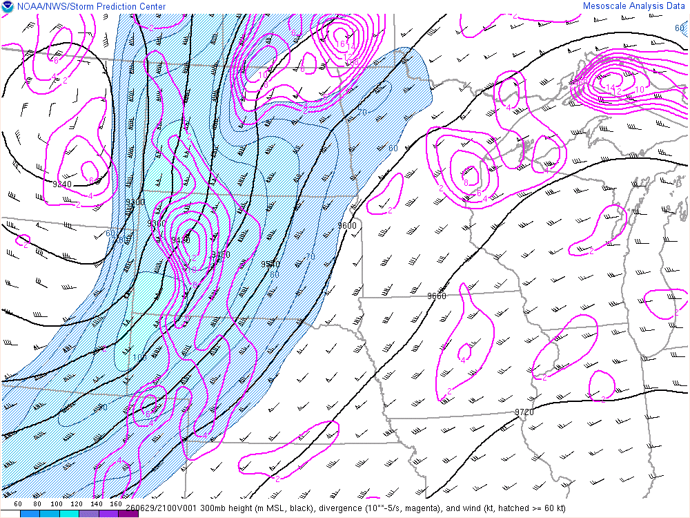
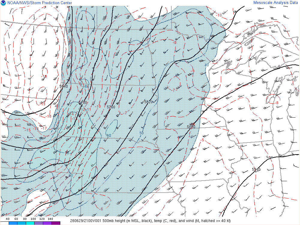
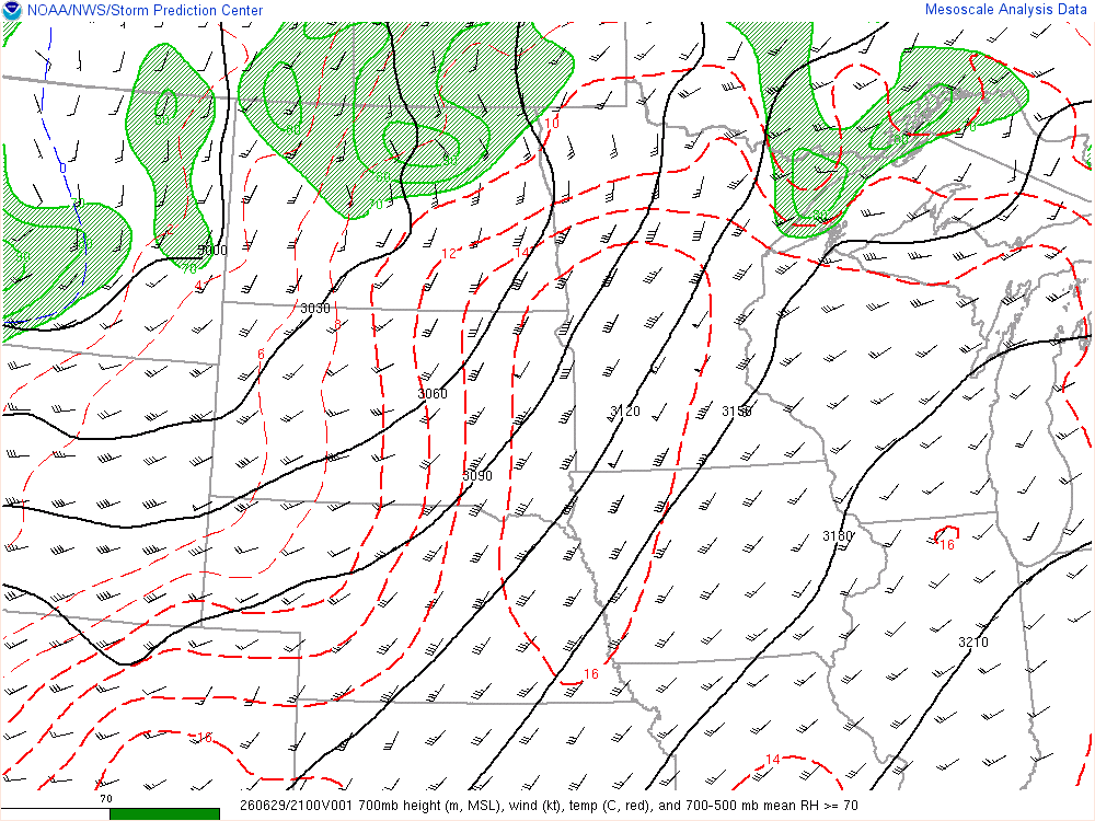
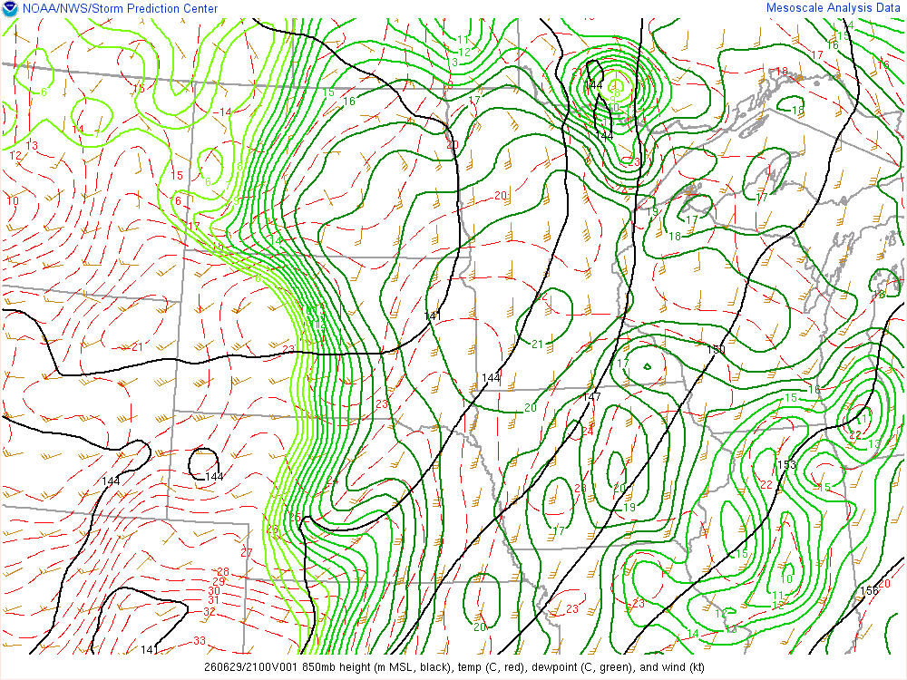
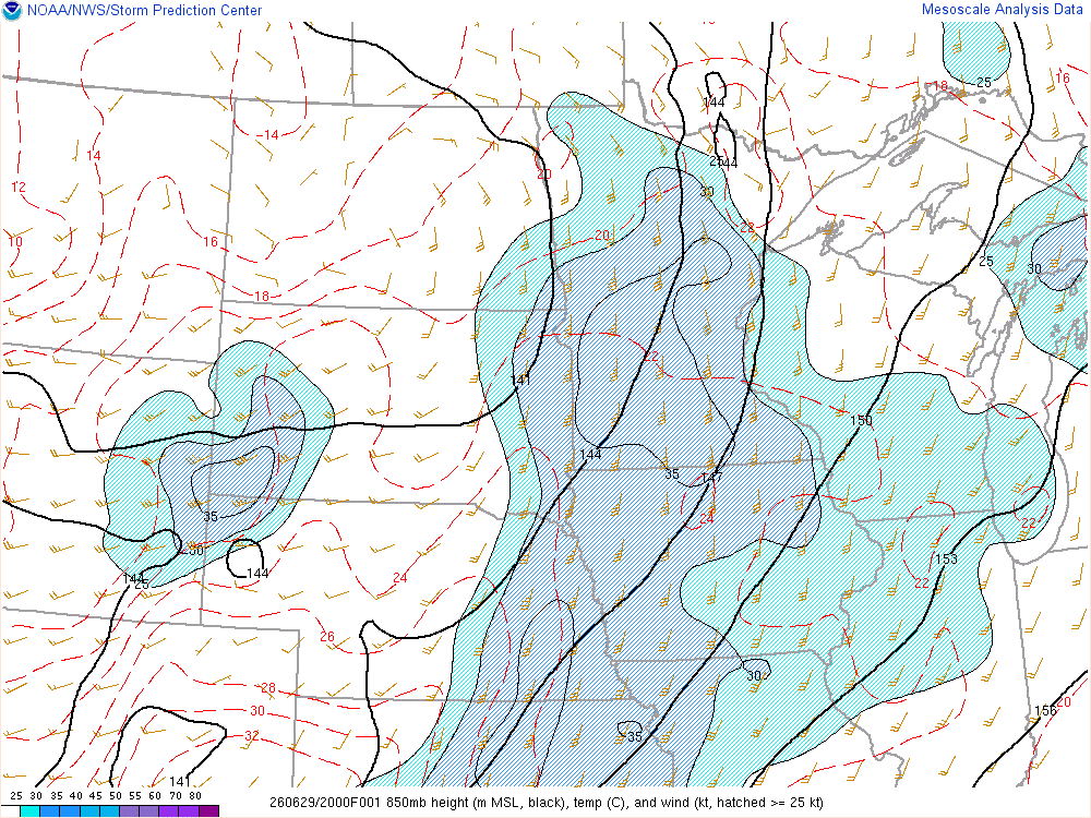
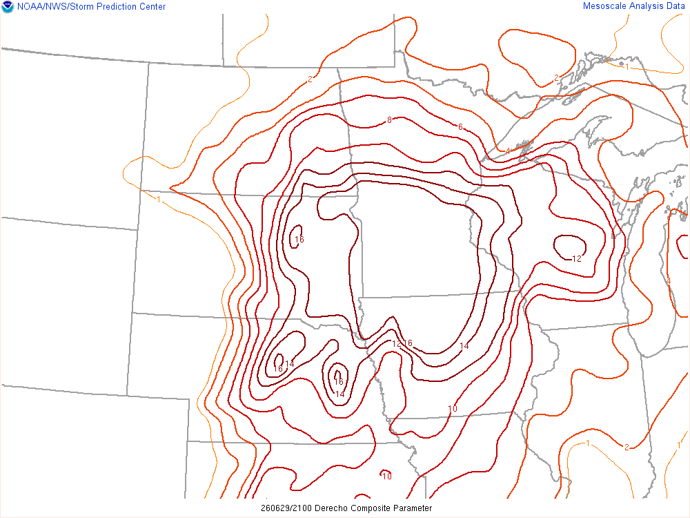
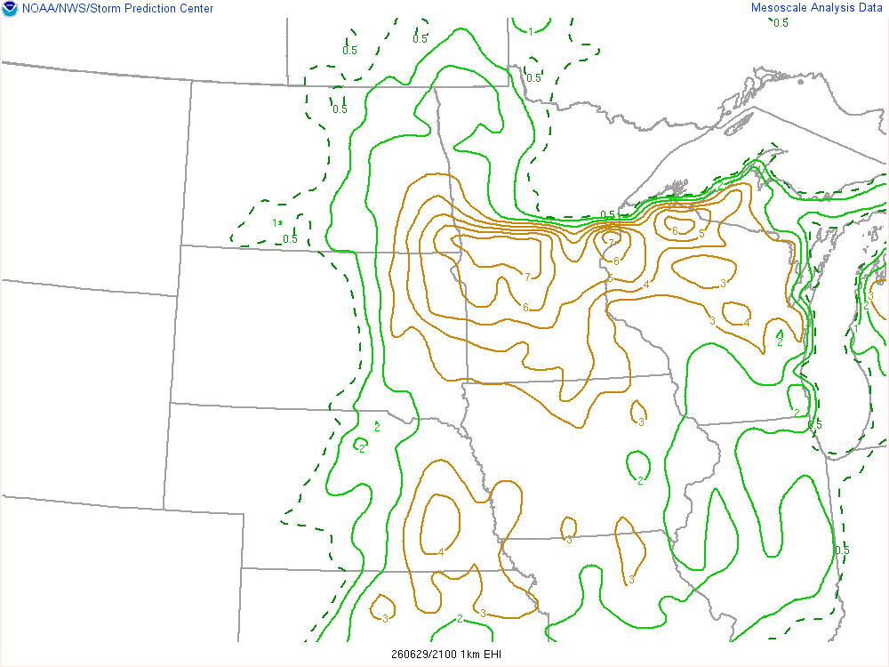
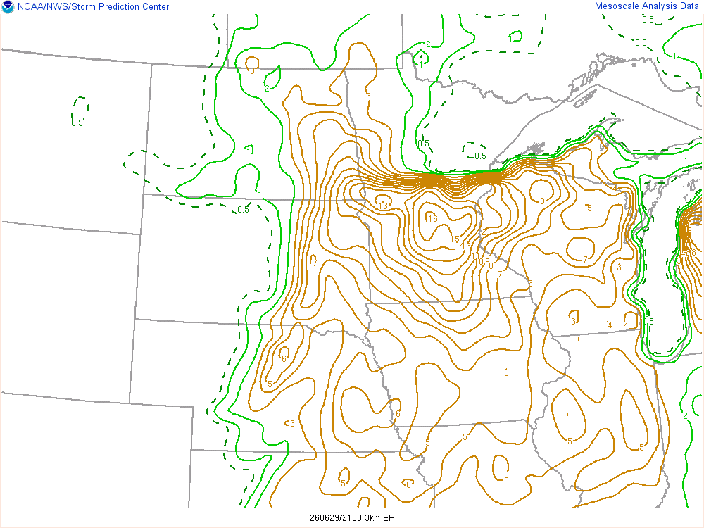
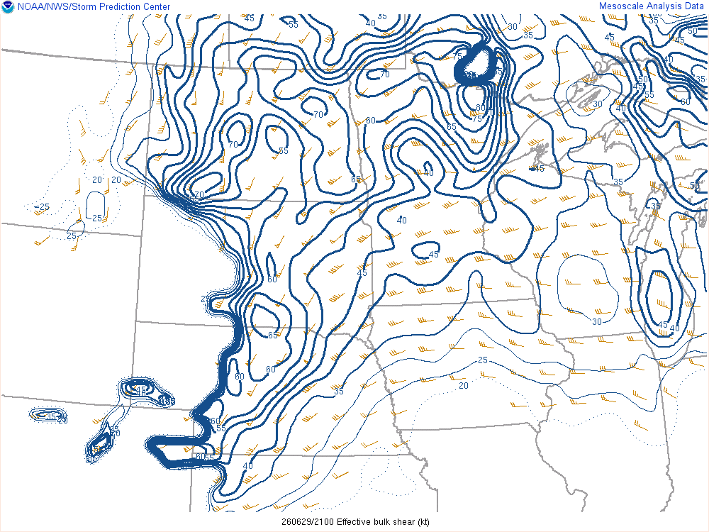
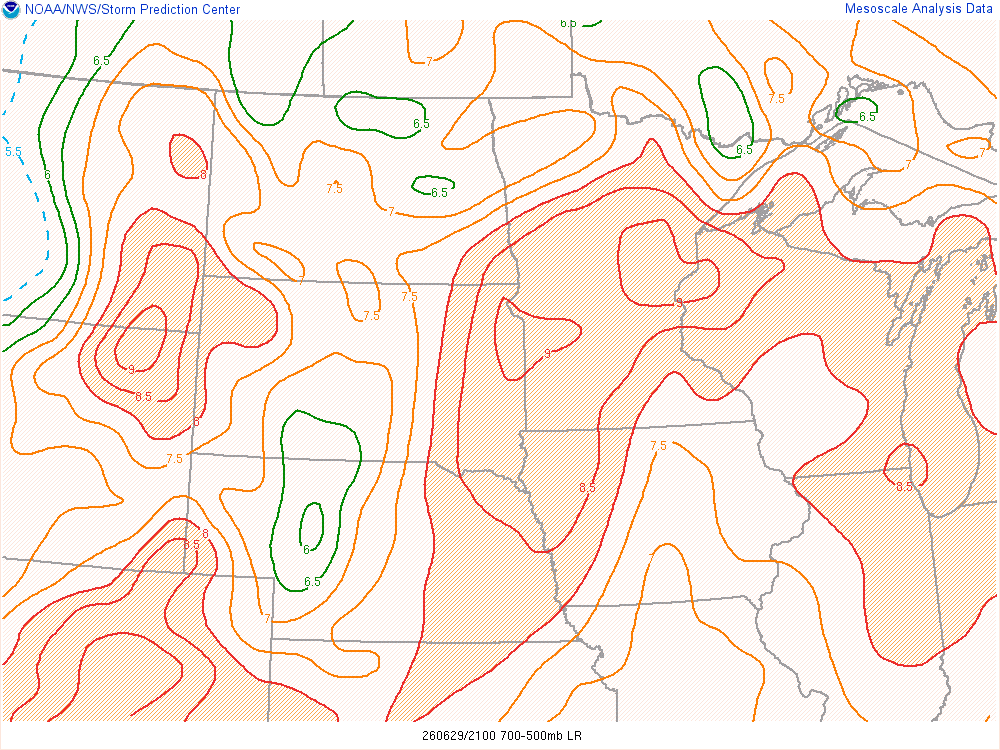
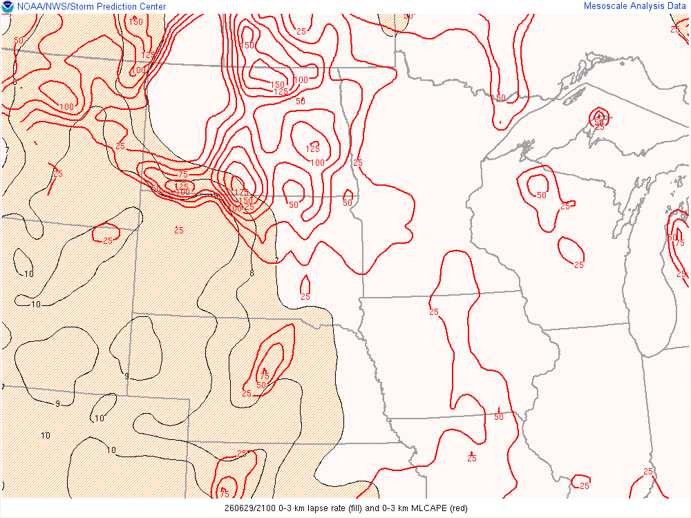
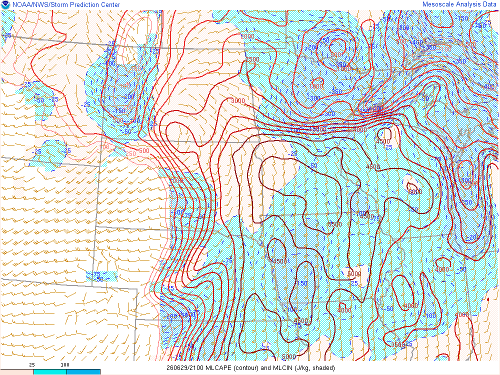
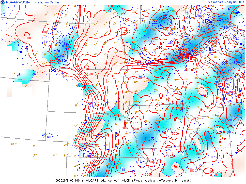
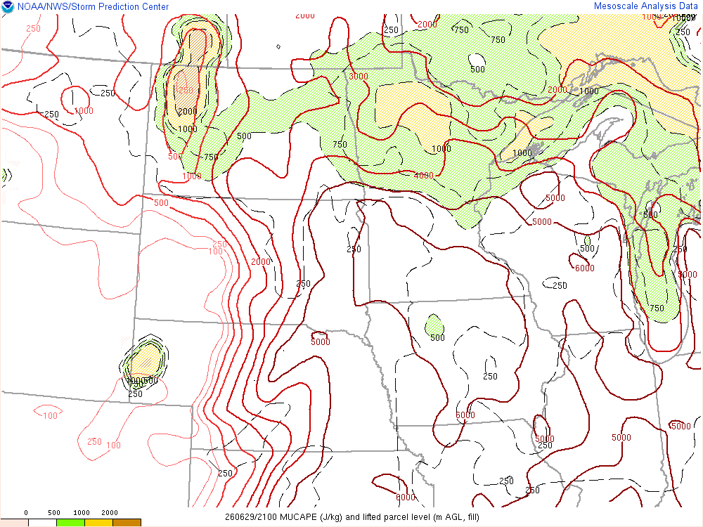
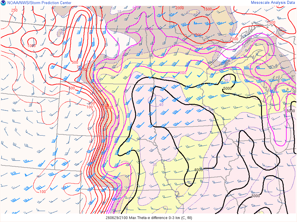
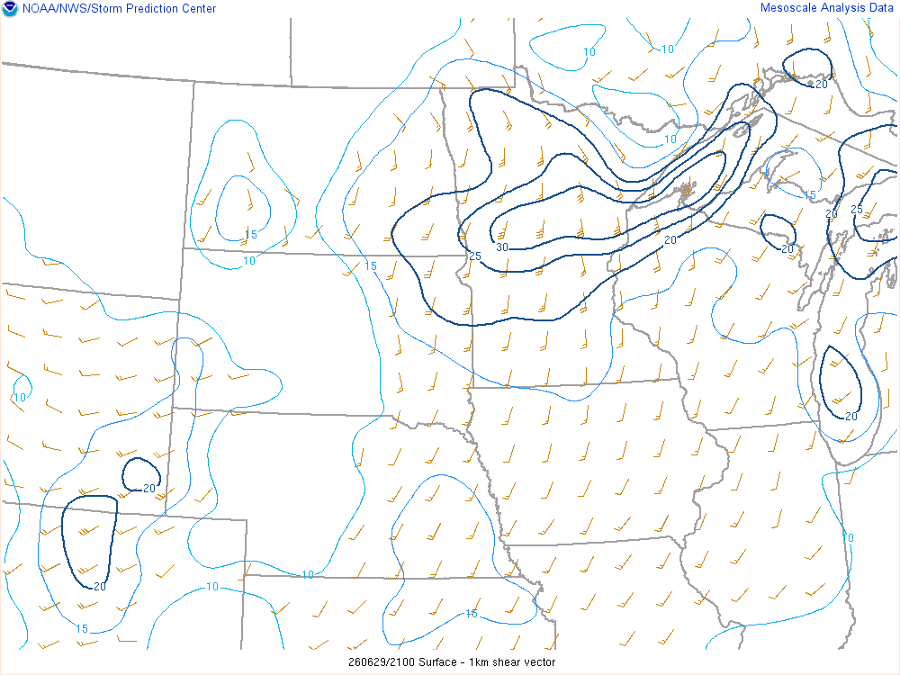
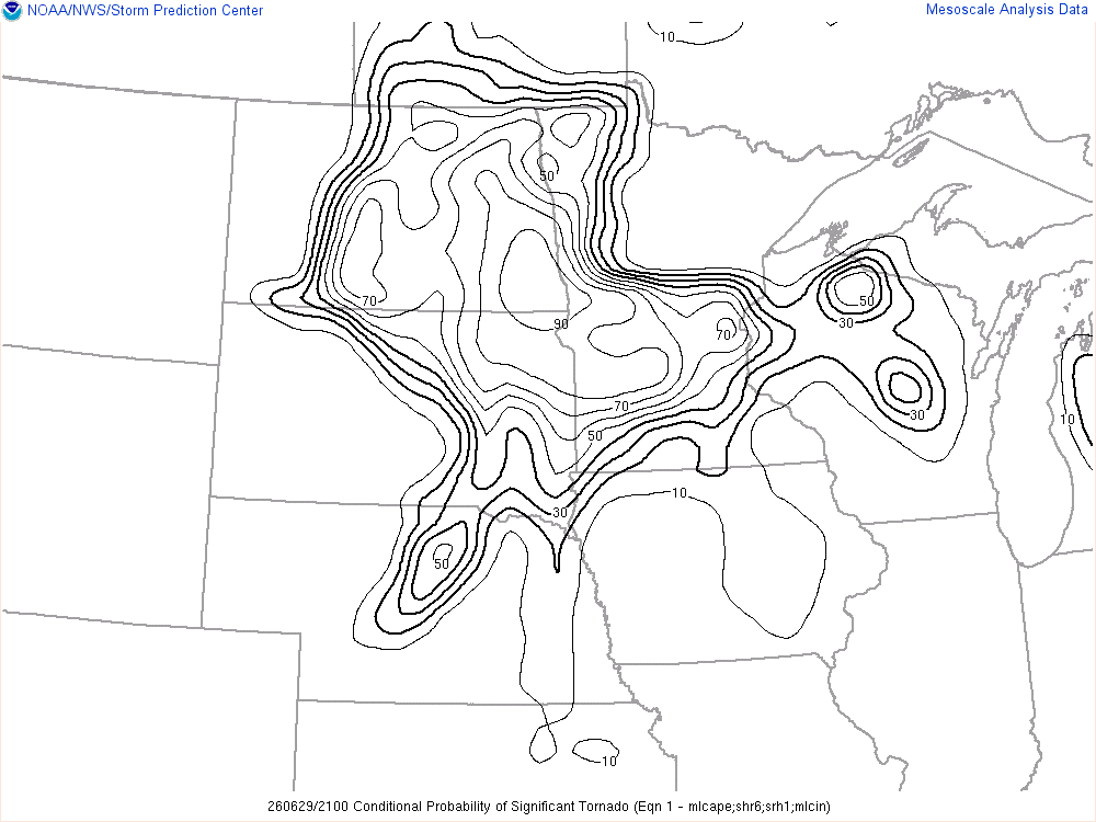
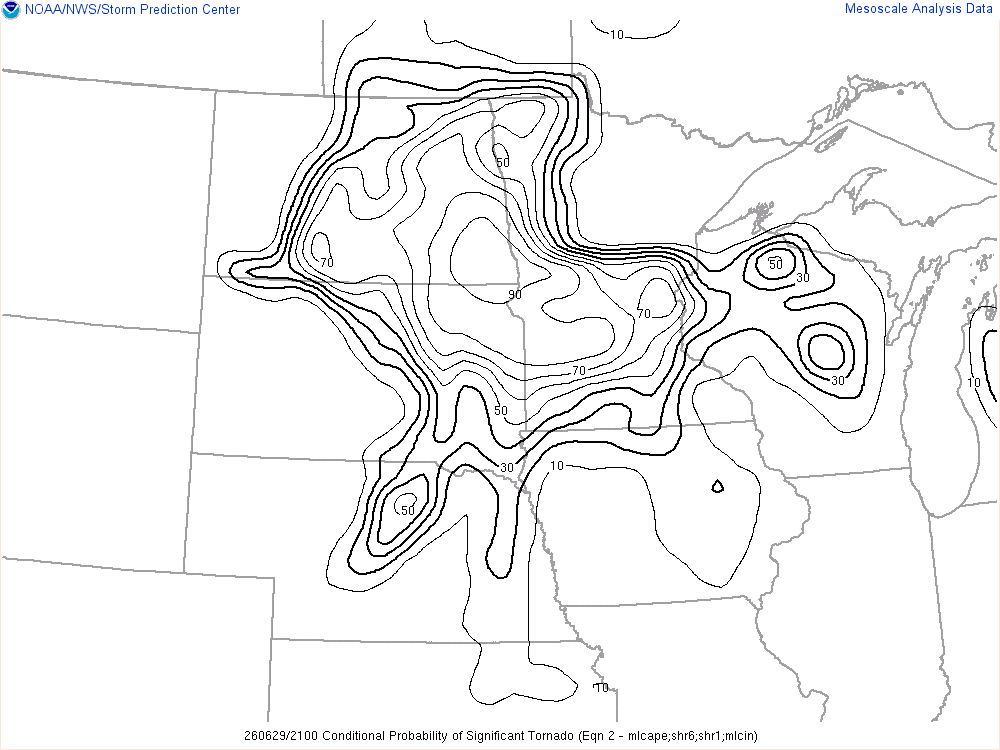
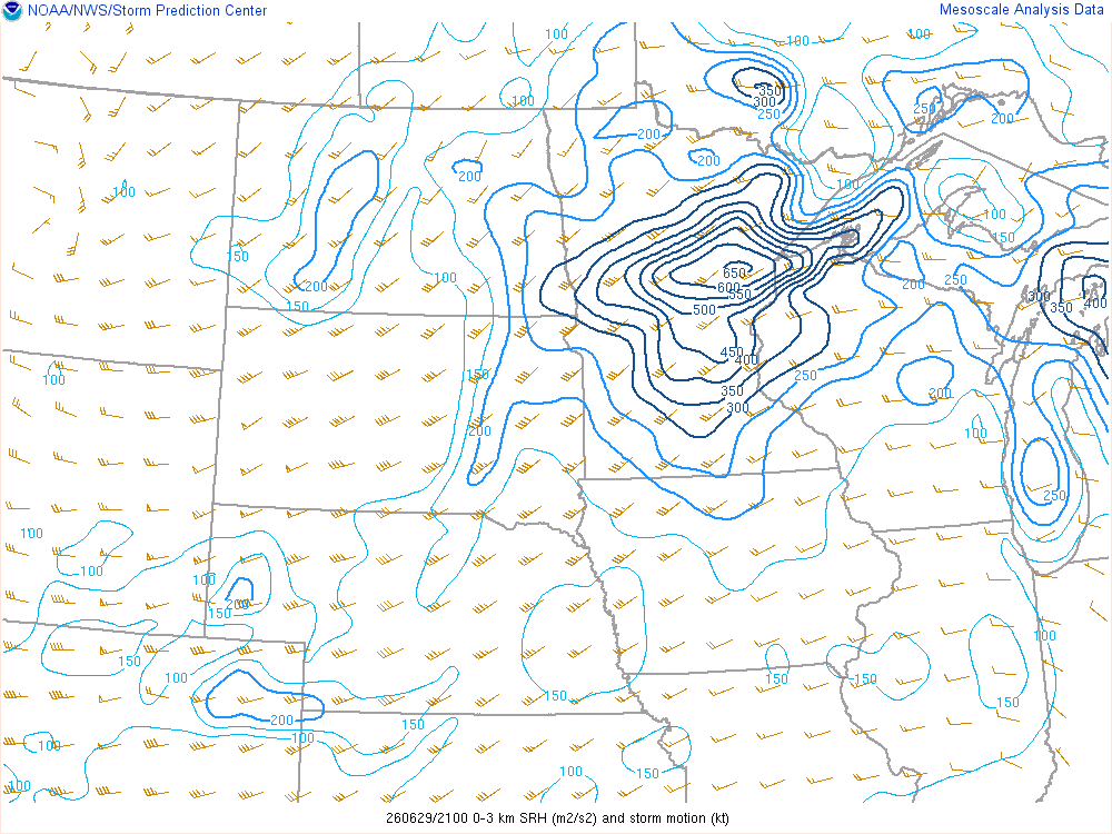
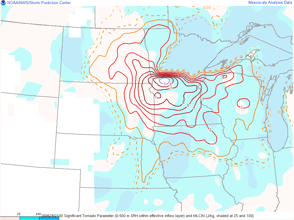
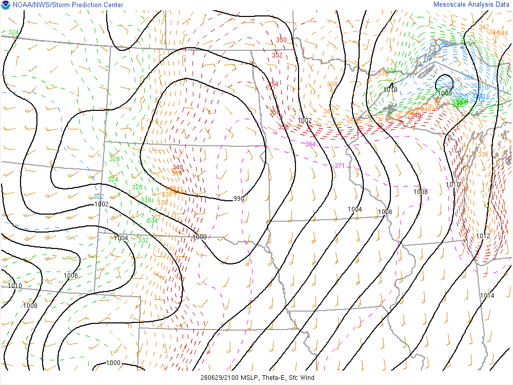
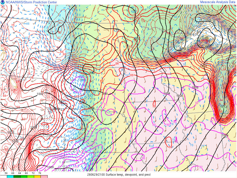
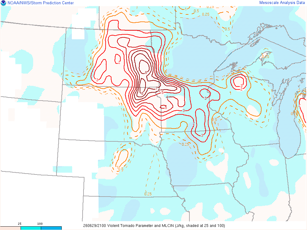
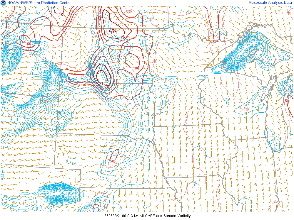
4pm CDT/21Z SPC Mesoanalysis


I drove back to Fargo and yet again topped off the gas tank before heading to Moorhead Municipal Airport to sit and wait. It was hot outside, but my newly repaired air conditioner did a fantastic job at keeping the car cool.
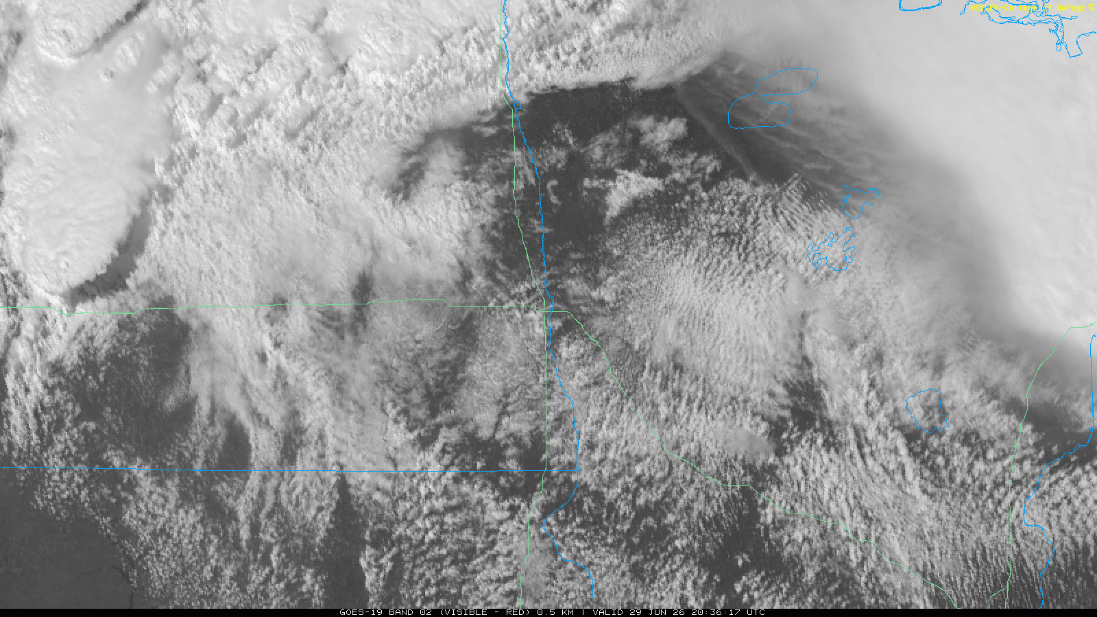
Visible Satellite Loop 5:45 pm CDT
Waiting for storms just east of Fargo ND as the cu became more agitated to my south. If any of those storms developed, I would have been in a perfect location to drop south on the storm.

As I sat watching towers, one finally seemed to take hold. I would follow that storm north onto Minnesota Highway 9 and all the way to the town of Ulen, Minnesota. It was fairly apparent that the shear was too strong for the updraft, as the precip was displaced from the base by several miles. I suspect the 700mb temps were also problematic, right at the cut off range. The storm behind the storm I was on was looking much more promising, so I bailed back south to US10 stopping on a road south of US10 to observe the updraft area.
Storm Organizes near Glyndon
The updraft area still had a shelfy look to it, but storm inflow seemed very positive. The air coming out of the storm was also not much cooler than the surrounding air, at least in the front of the storm. While the radar presentation was more of a linear fashion, I had hope the updraft could organize.
I headed north across US10, following the main updraft area. With a little navigation, I was able to stair step with the storm. If I ran into other chasers, I could easily counteract their actions at each mile section.
Hawley Minnesota Tornado
While it was brief, I was perfectly positioned for the Hawley Minnesota Tornado. Motion had been on the increase when a funnel appeared out my drivers side window. I was able to capture video of the Hawley Minnesota Tornado.
The circulation blew out debris at me as it dissipated. I continued my stair stepping past Ulen before giving up at dark near the town of Waubun. It was becoming too dark to see, and obvious that the storm was lining out with interference from the storms to its southwest. I ran into Stas just west of Waubun and stopped to say hi. It was great to see him out there.
Heading to Sioux Falls
Shortly after running into Stas, I got to US59 where I gave up the chase and looked for a hotel. It was approximately a 4 hour drive to Sioux Falls, and was right around 10 pm. I booked a hotel in Sioux Falls and started heading that way. As I was arriving into Sioux Falls around 2 am, I was greeted with some of the best lightning of 2026. I had to unload my gear in a torrential downpour. I had another day of work ahead of me, and then a 9.5 hour drive home.


